Publiée le 21 décembre 2023
Infographie - La modélisation : Comment l'air est-il cartographié ?
Infographie
La modélisation : Comment l'air est-il cartographié ?
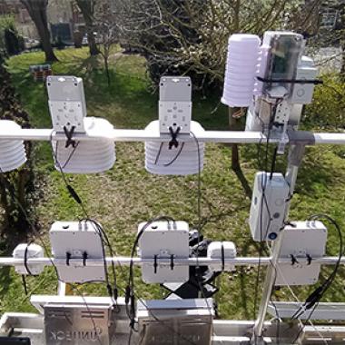
Mesures des stations, inventaire des émissions de polluants, données trafic routier en direct, données de trafic maritime,…
bouton d'actions